If you are getting ready to buy a home, build a fence, or settle a property question with a neighbor, you have probably started wondering about a home survey cost. It is one of the first things people search for, and it is a fair question. Surveys are not one-size-fits-all, and the price can vary quite a bit depending on what you need and where your property is located.
What Affects the Cost of a Home Survey?
Survey pricing is not arbitrary. Several factors determine how much time and work a survey requires, and those factors directly influence the final cost.
- Property size. Larger lots take longer to measure and research. A small suburban lot costs less to survey than a multi-acre rural parcel in the surrounding counties.
- Terrain and vegetation. Steep slopes, dense tree cover, and creek crossings add time in the field. Flat, open lots are faster and cheaper to work.
- Age of the property records. Older properties with outdated or poorly written deed descriptions require more research. Surveyors often have to trace multiple historical deeds to reconstruct a legal boundary, and that time adds to the cost.
- Number of corners and boundary lines. A simple rectangular lot with four corners costs less to survey than an irregular-shaped parcel with multiple angles and adjoining properties.
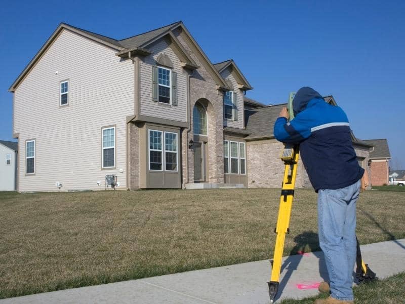
- Survey type. Different surveys serve different purposes, and the complexity of each type affects pricing. A basic lot survey costs less than a full boundary survey, which costs less than a commercial ALTA survey.
Typical Home Survey Costs
Prices vary between firms and projects, but these ranges reflect what homeowners in the Nashville area commonly pay.
- Lot survey (closing survey): $350 to $700. This is a simpler survey used when purchasing a home in a recorded subdivision. It confirms the lot boundaries match the recorded plat but is less detailed than a full boundary survey.
- Boundary survey: $500 to $1,500 for a standard residential parcel. Larger or more complex properties can run $2,000 to $3,500 or more.
- Topographic survey: $800 to $2,500 for a residential lot, depending on size and terrain complexity. Commercial topo surveys start higher.
- Elevation certificate: $300 to $700 in most cases. This documents your structure’s elevation relative to FEMA flood zone maps and is often required for flood insurance.
- ALTA survey: Starting around $2,000 for smaller commercial properties and going up significantly based on parcel size, easement complexity, and Table A items requested.
These are starting-point estimates. Always request a written quote from a licensed surveyor before committing to any work.
Why Two Surveyors Can Quote Very Different Prices

It is not unusual to get quotes that differ by several hundred dollars for what seems like the same job. A few things explain this.
First, firms price their time differently based on crew size, equipment, and overhead. A well-equipped firm using modern GPS and robotic total stations may work more efficiently, keeping costs competitive despite higher overhead.
Second, some surveyors include more research time in their base quote. A surveyor who pulls historical deed records, checks adjoining parcels, and reviews county plat archives upfront tends to produce a more accurate result, and that work takes time.
Third, experience with Davidson County and Middle Tennessee records matters. Local surveyors who know the county’s plat history, common title issues in certain neighborhoods, and how to navigate older irregular deeds can often complete work more efficiently than firms less familiar with the area.
Getting two or three quotes is reasonable. Just make sure each quote describes the same scope of work before you compare prices.
What Is Not Included in a Survey Quote
Understanding what is typically excluded from a standard quote helps avoid surprises.
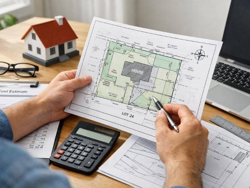
Most base quotes do not include filing fees if the plat needs to be recorded with Davidson County. They also may not include staking of all four corners if the scope is limited to a lot survey rather than a full boundary survey. Additional research time triggered by title conflicts, gap parcels, or missing historical records may also be billed separately if the surveyor encounters unexpected complications in the field or during research.
Ask your surveyor upfront what is included and what could trigger additional charges. A clear written agreement protects both parties.
Is a Cheaper Survey Always a Worse Survey?
Not necessarily. Price alone does not determine quality. A lower quote from a licensed, experienced Professional Land Surveyor working with modern equipment can be just as accurate and legally sound as a higher-priced option.
What matters most is that the surveyor is licensed by the Tennessee Board of Licensure for Professional Engineers and Land Surveyors, carries professional liability insurance, and provides a signed and stamped survey document. Those are the markers of a legally valid and professionally accountable survey, regardless of price.